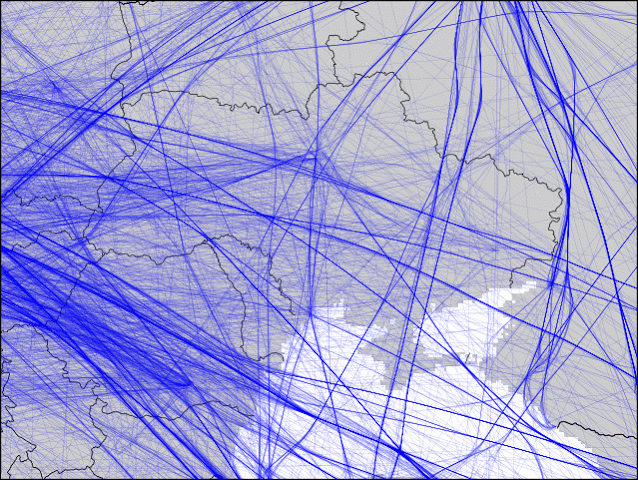
The Crimea Conflict and Airline Tracks
How does military conflict affect commercial airline flight paths? Below are the daily flight heat maps around Ukraine from late March to early April. Each frame is an aggregate of all flights for a particular day. The darker the color, the more flights went there that day. On 3/31, you see a lot of flights circled a city in Crimea (maybe Simferopol?). The next day the airlines started steering their flights around Crimea (except some flights coming from Russia).
I know others have plotted this before, but it's been fun writing something to walk through the data on my own. Python/Matplotlib was taking forever, so I wrote something in Go that allowed me to clean up the original data (eg, split dateline-crossing flights) and filter it down to regions of interest. I still plot with Matplotlib, but now that the data is simplified it takes a lot less time to do.